Image
-
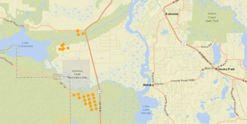 A map of Putnam County controlled burns on Wednesday morning. Credit: National Wildfire Coordinating Group.
Body
Drivers in the area of State Road 19 and National Forest Road 77 were urged to proceed carefully Wednesday morning as smoke from a controlled burn limited visibility, authorities said.
As of 7:10 a.m., the 1,450-acre burn west of Welaka meant that drivers should turn on their low beam headlights and reduce speed as necessary, the Florida Highway Patrol said in a press release.
There was another controlled burn Wednesday morning near State Road 19 and County Road 310, according to National Wildfire Coordinating Group maps.
This story will be updated as conditions develop.